Welcome to SeeMyProject
All your deliverables in one place
Real Time Construction Progression
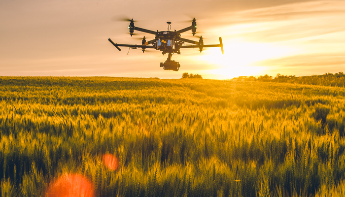
Real-time drone construction progression involves the use of unmanned aerial vehicles (UAVs) equipped with cameras and other sensors to monitor construction sites and provide real-time data on project progress.
Drones can capture high-resolution aerial images, 3D models, and videos of the construction site, which can be used to identify potential issues, track progress, and make informed decisions about resource allocation. With the help of advanced software, data collected by drones can be analyzed to identify trends and patterns, which can be used to optimize construction schedules and improve project management.
Real-time drone construction progression can also improve safety on the job site by providing a bird’s-eye view of the site and identifying potential hazards. Overall, the use of drones in construction can help to streamline processes, reduce costs, and improve project outcomes.
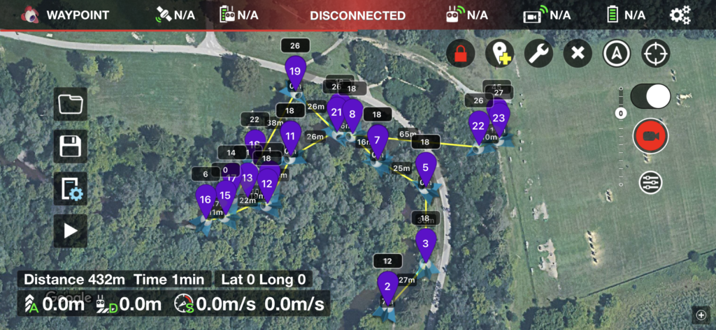
Autonomous Waypoint Missions Flights
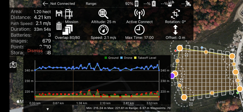
Autonomous Orthomosaic and 3D model flights
Still Imaging
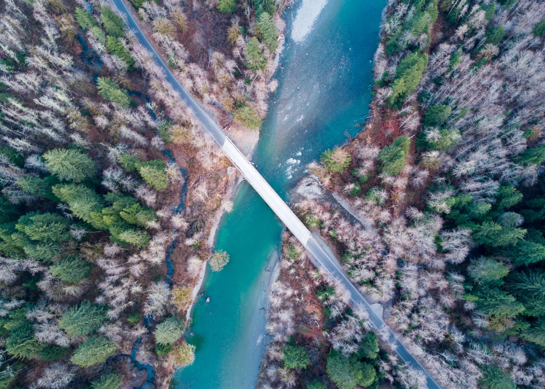
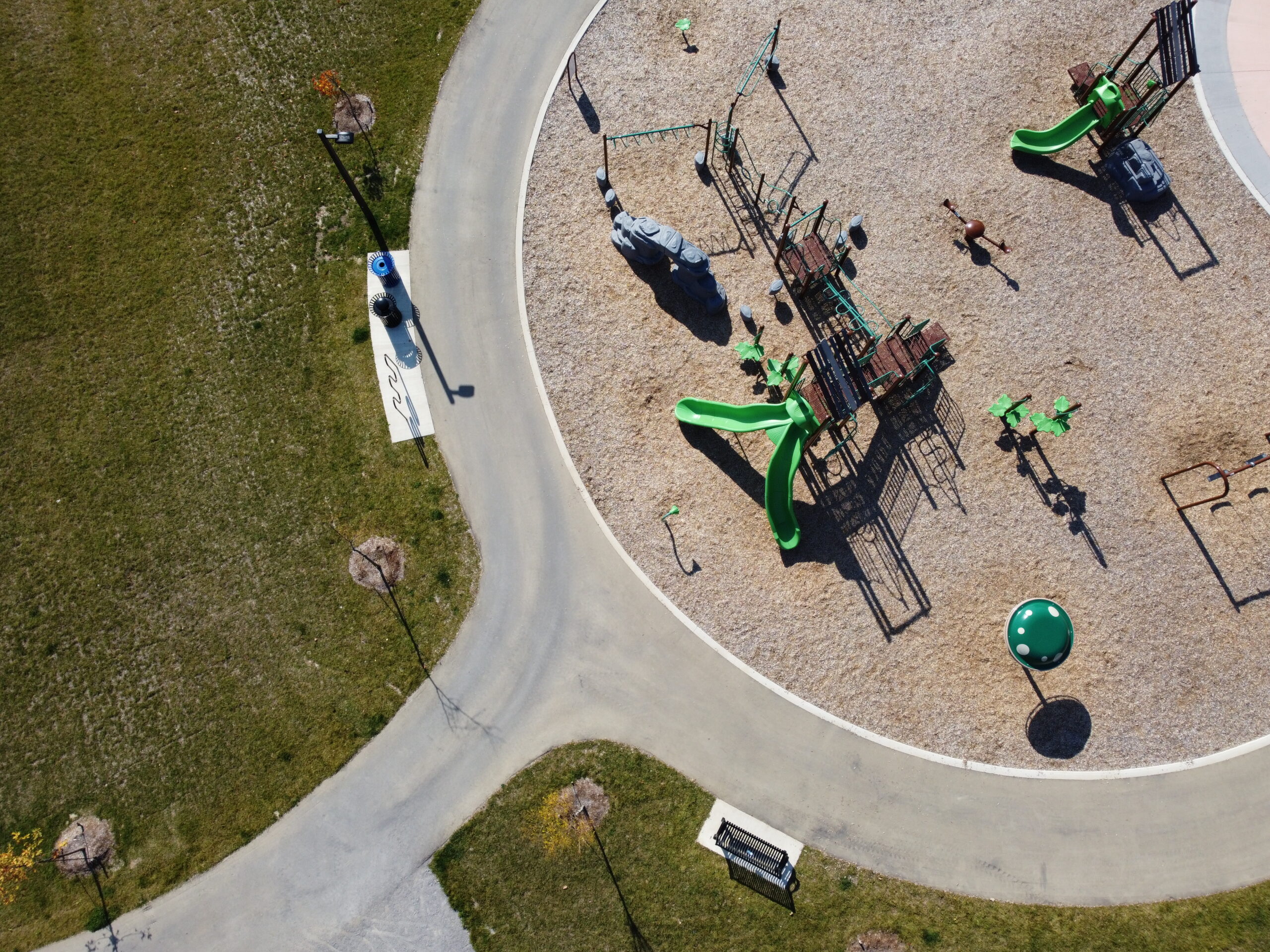
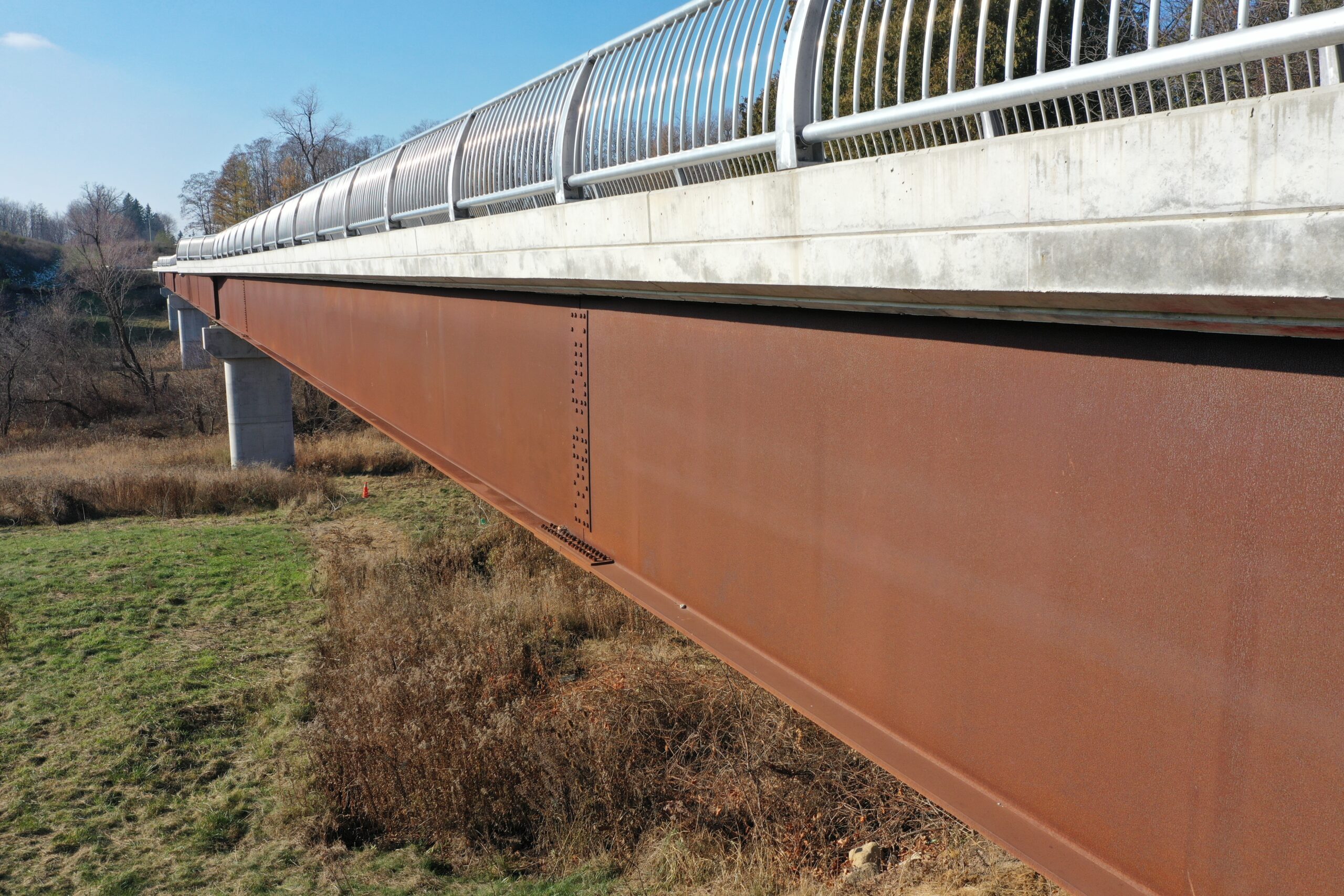
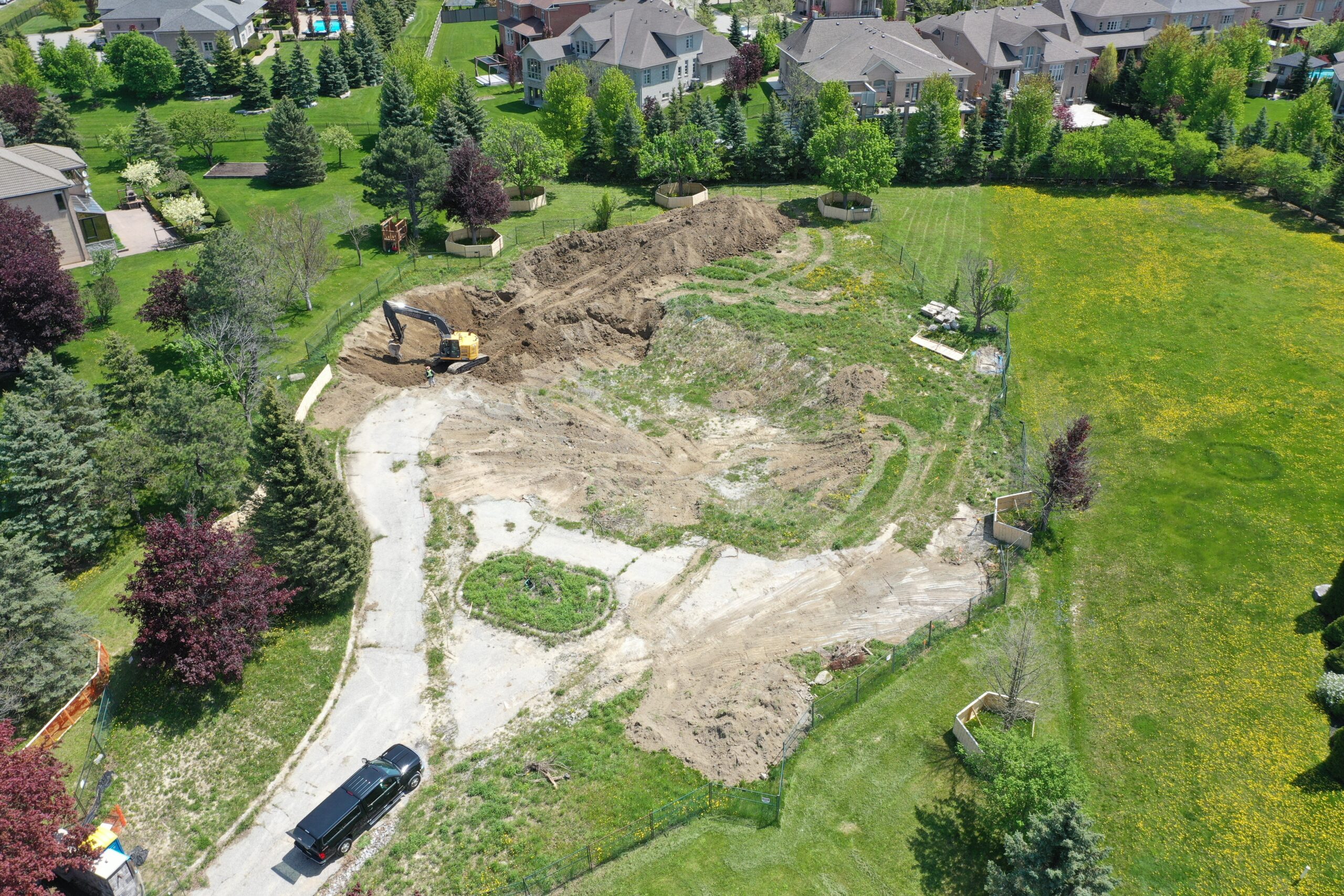
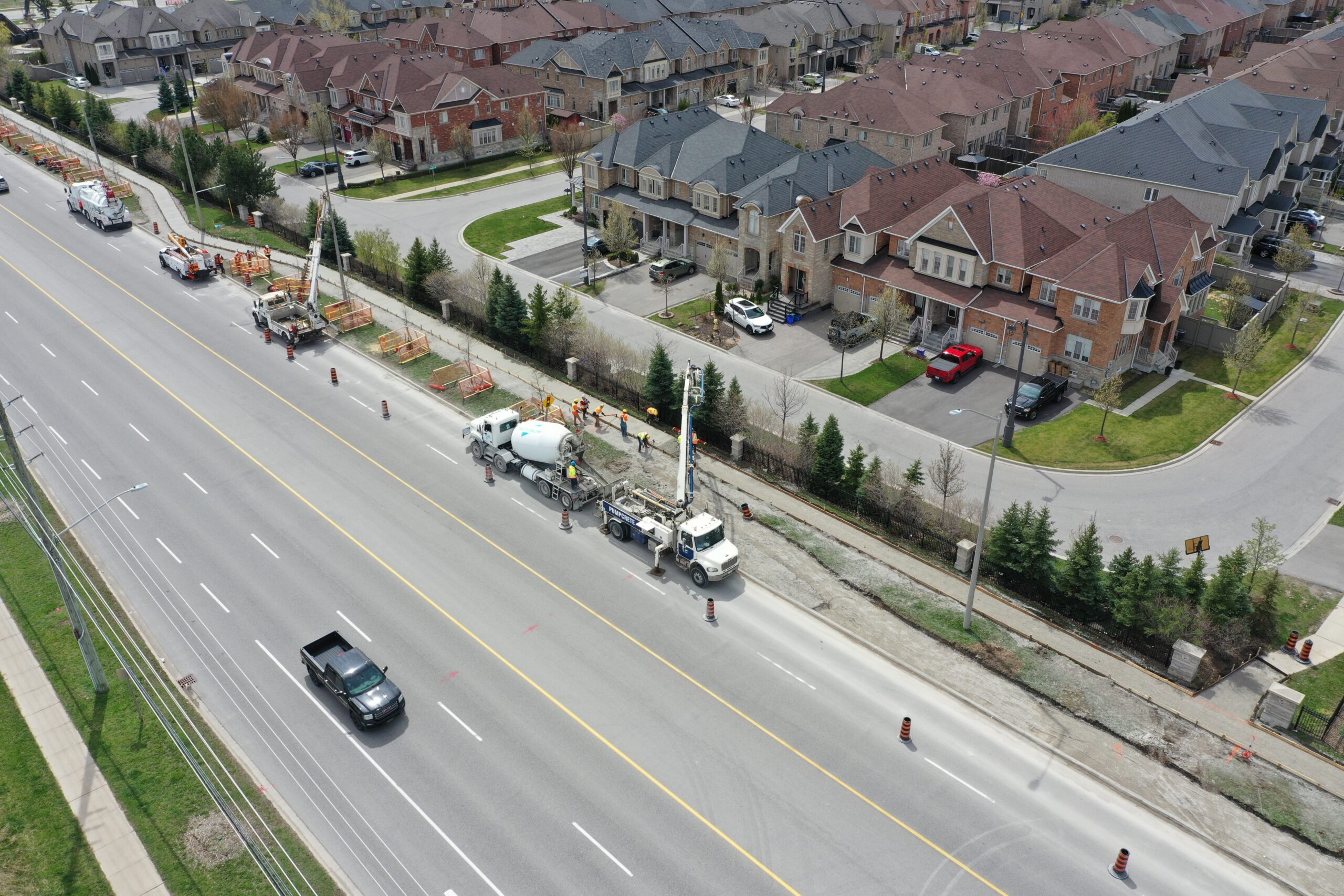
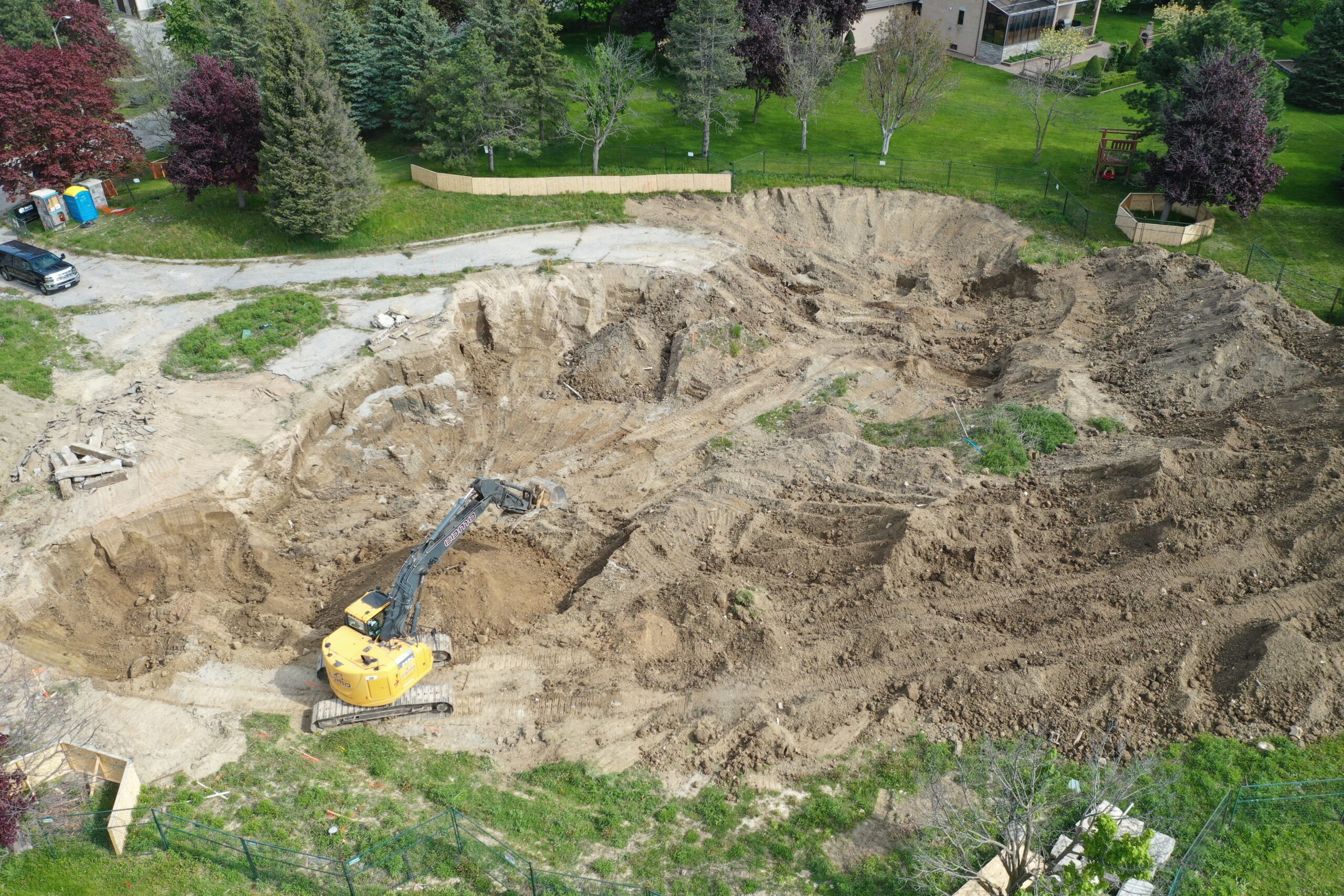
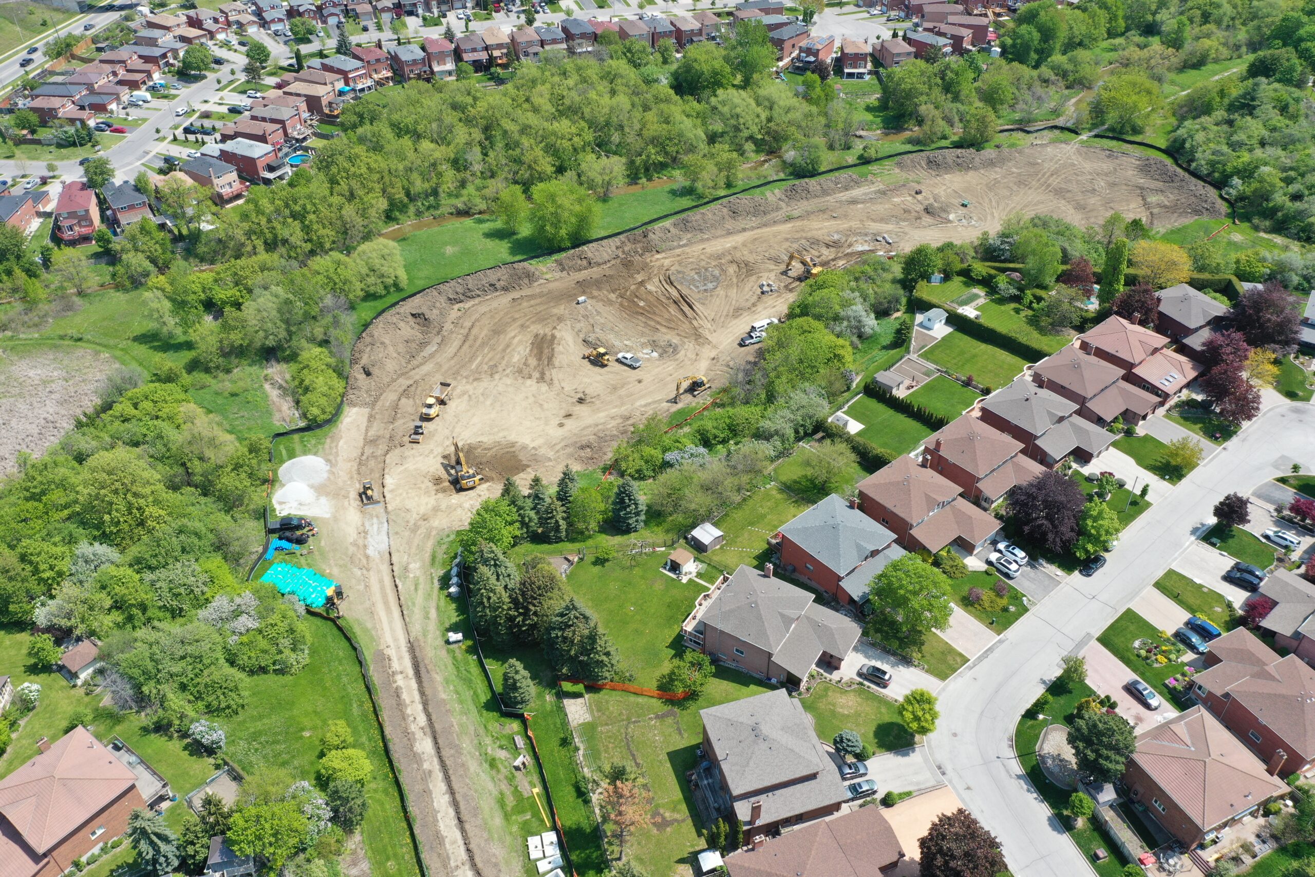
By utilizing a pre-determined flight route, drones can repeatedly revisit specific locations to capture the evolving transformations of your job site. Whether you desire daily, weekly, or monthly monitoring, a simple glance will allow you to easily compare the on-site progress.
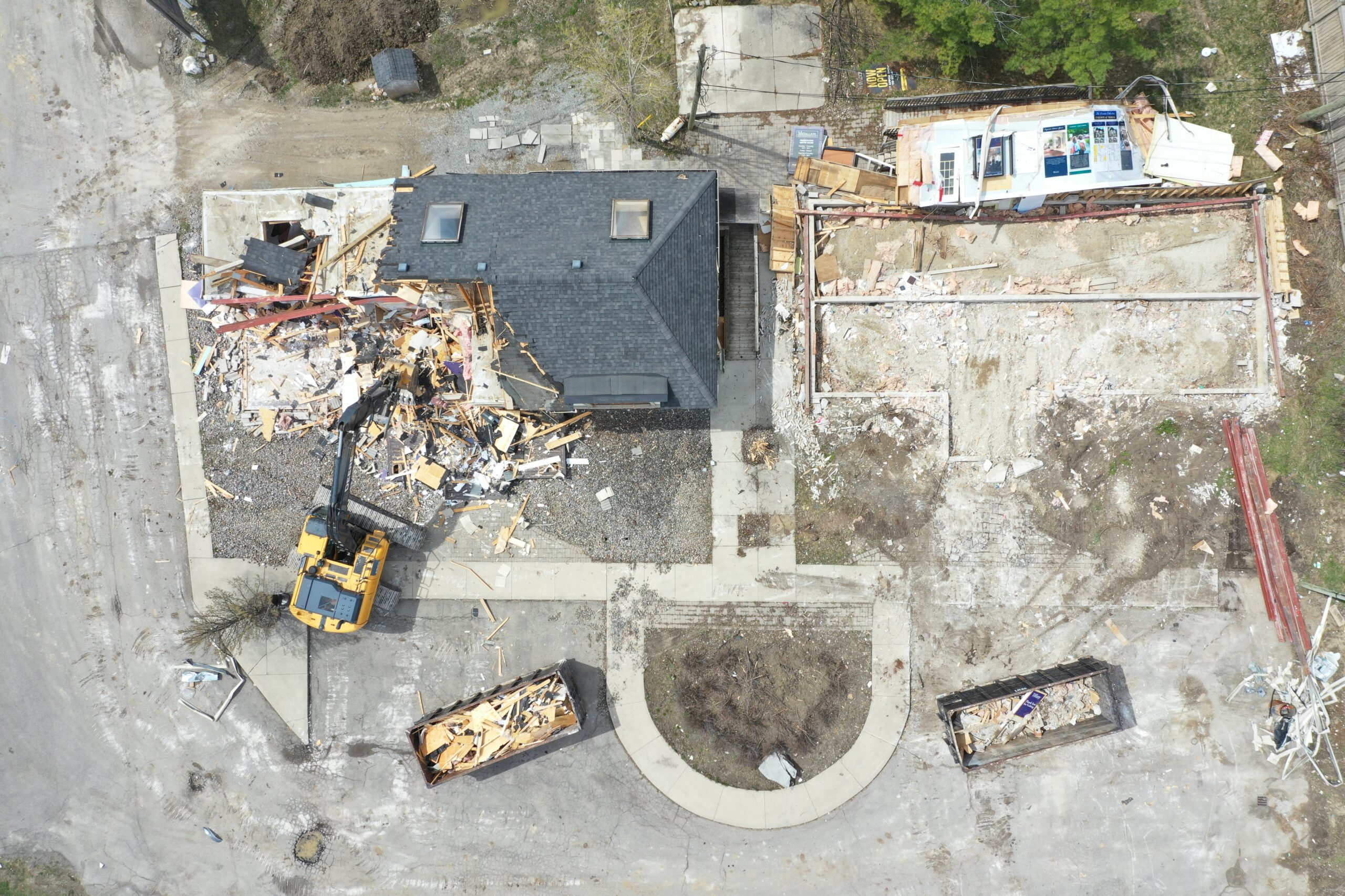
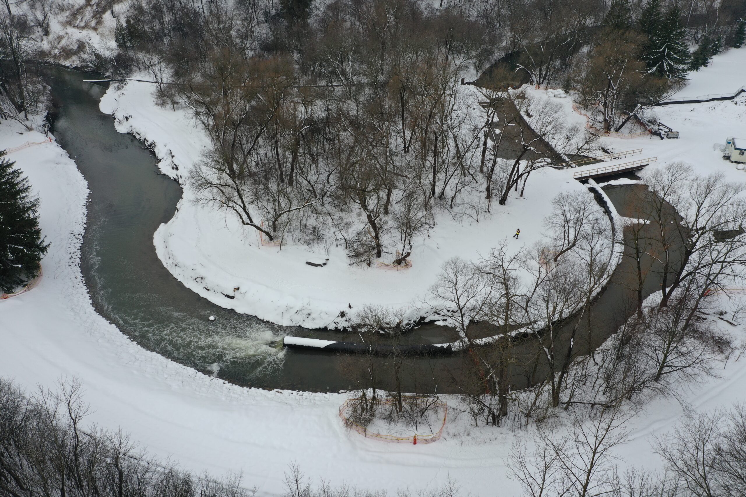

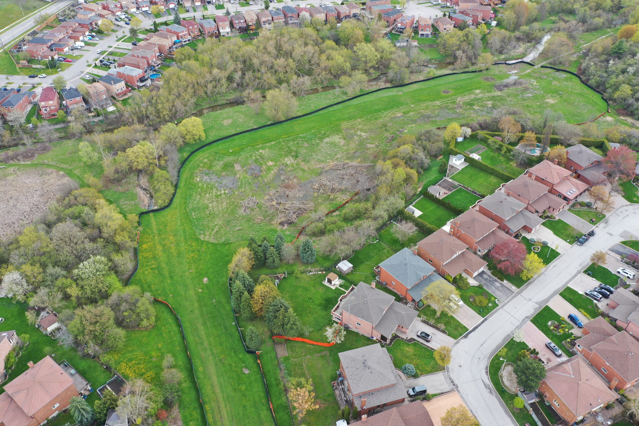
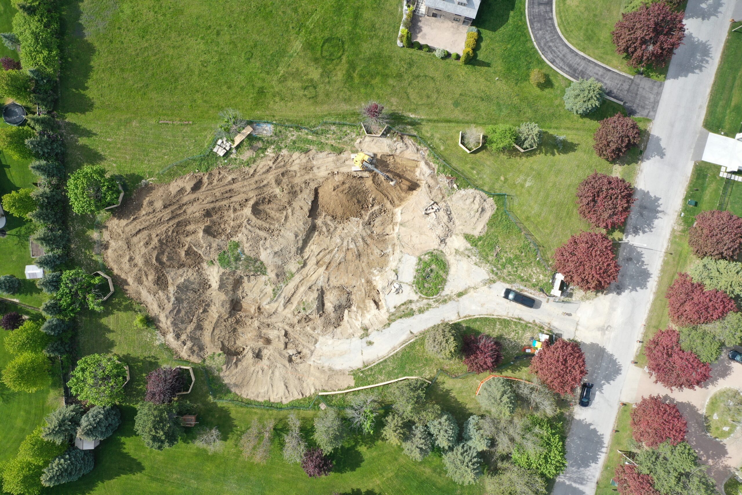
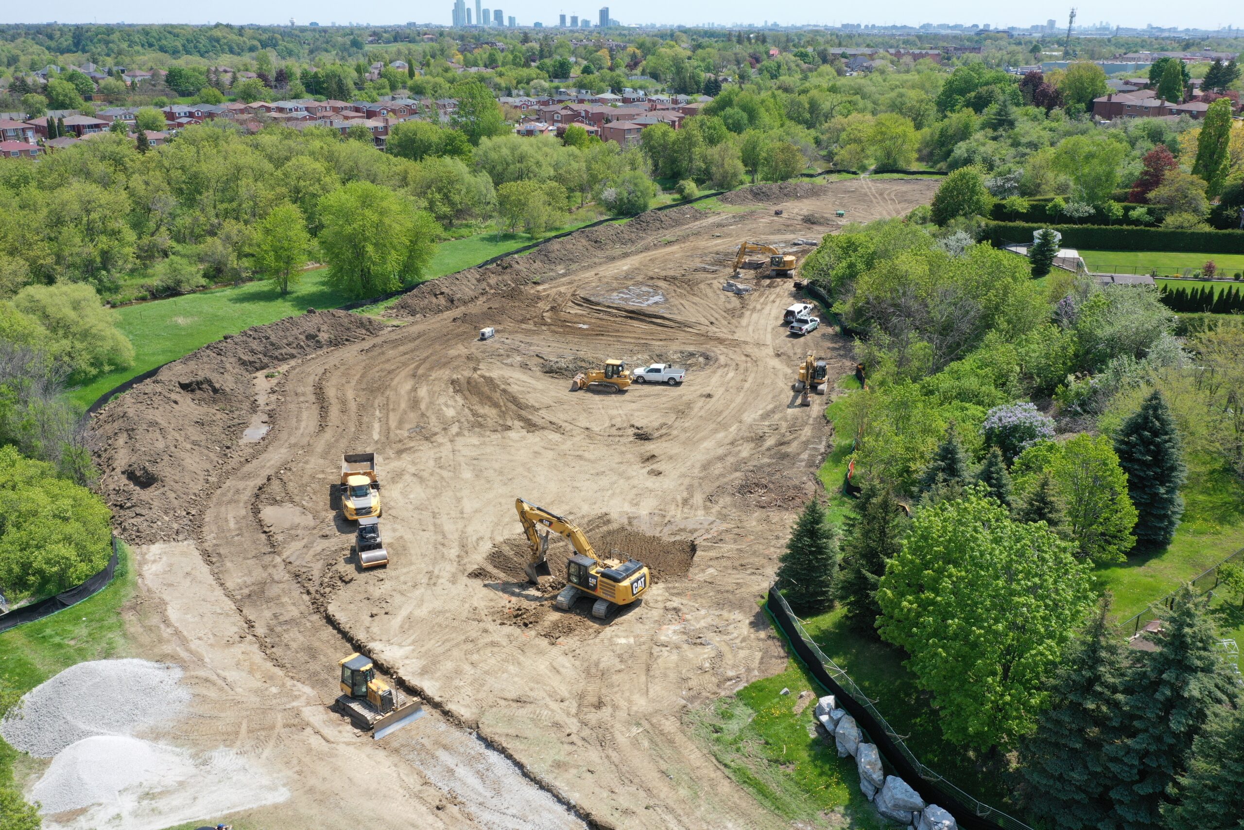
Before & After – Slider
Experience the transformative power of drone construction with our Before & After slider. Witness the incredible evolution of construction projects as they take shape from mere concepts to stunning realities. With our state-of-the-art drone technology, we capture every step of the construction process, providing a unique perspective on the seamless integration of precision and creativity. From groundbreaking to completion, our Before & After slider allows you to slide between images, revealing the awe-inspiring progress achieved through our innovative drone construction techniques. Whether it’s soaring skyscrapers, intricate infrastructure, or expansive landscapes, our drone construction services redefine what’s possible. Explore our gallery and be inspired by the remarkable metamorphosis that unfolds with each slide, showcasing our unwavering commitment to excellence in every project we undertake.

Video Segment
Welcome to our captivating drone construction video segment! Immerse yourself in the dynamic world of cutting-edge construction techniques and aerial marvels. Our high-definition drone footage takes you on an exhilarating journey, providing a bird’s-eye view of your groundbreaking projects in action. Watch as our fleet of advanced drones effortlessly navigate through intricate construction sites, capturing every angle and detail with unparalleled precision. From the initial surveying and planning stages to the intricate assembly of structures, our video segment showcases the seamless synergy between human expertise and the power of drone technology. Marvel at the rapid progress, intricate designs, and the sheer scale of your projects as they come to life before your eyes. Discover the artistry and innovation that define our drone construction approach, and witness firsthand how we push the boundaries of what is possible in the realm of construction. Prepare to be inspired and amazed as you delve into our captivating drone construction video segment, showcasing our unwavering commitment to excellence and pioneering spirit.
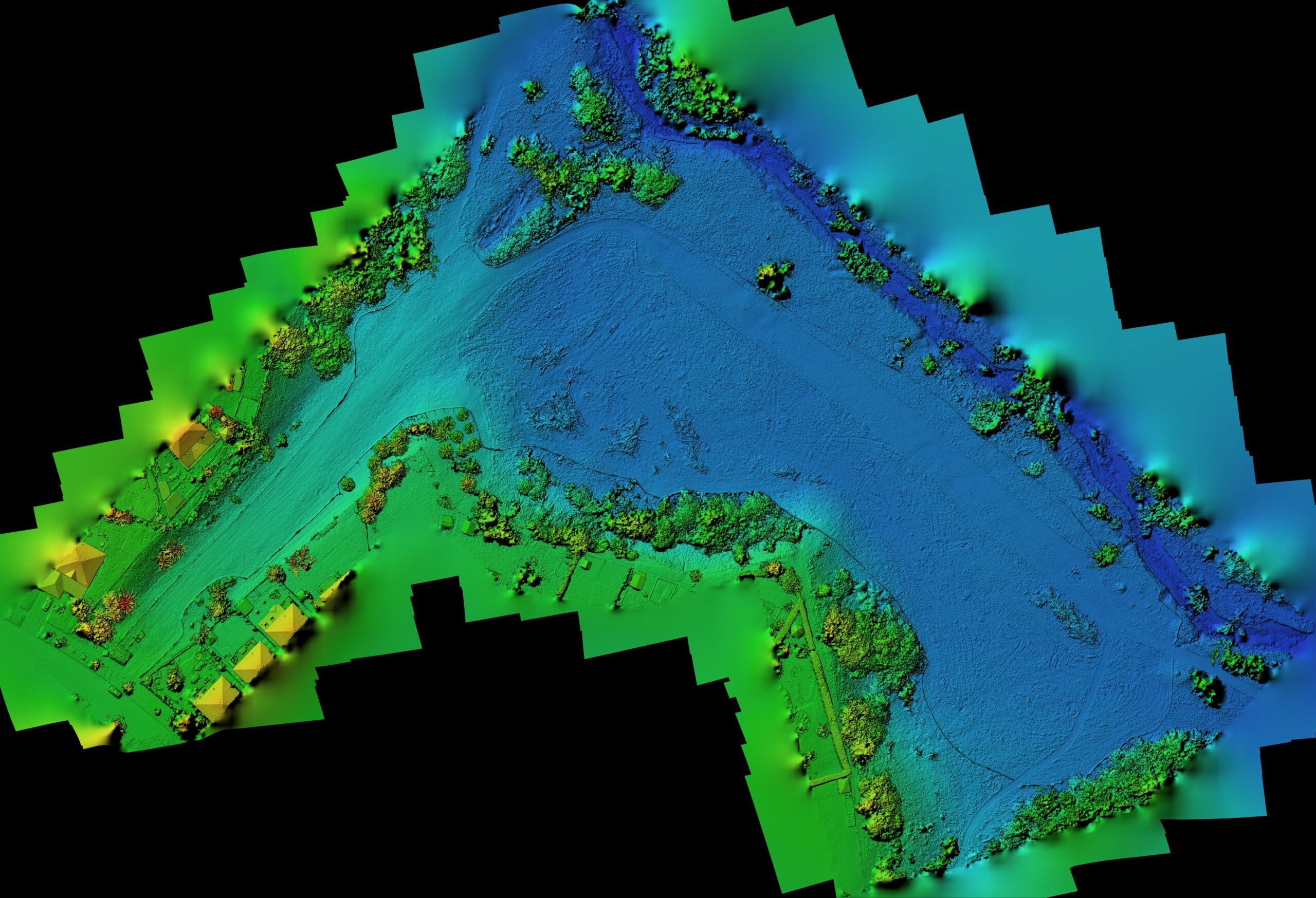
Orthomosaic & Digital Elevation/Surface Model – Slider
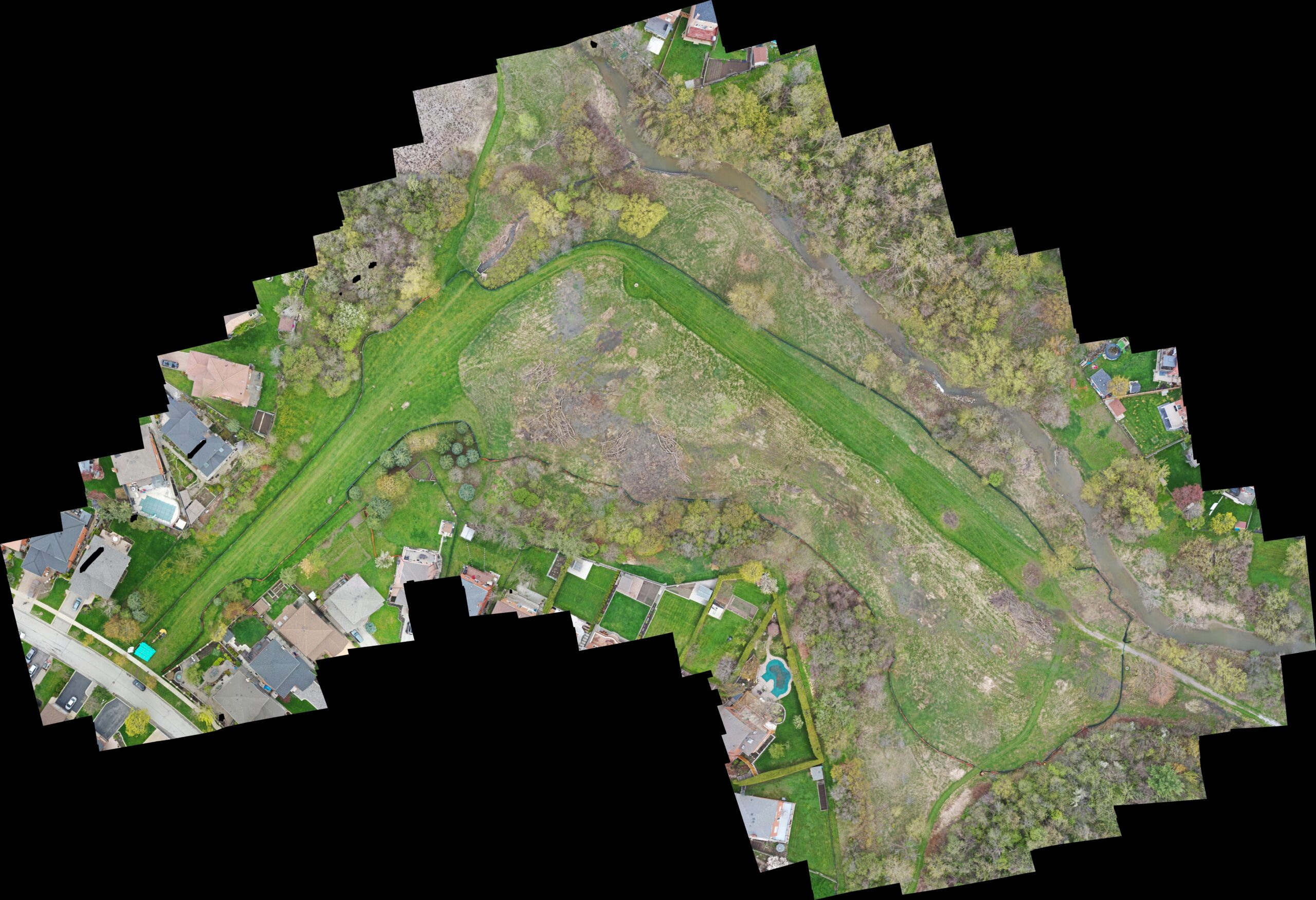
A drone orthomosaic and digital elevation model (DEM)/digital surface model (DSM) are valuable tools in modern surveying and mapping. A drone equipped with a high-resolution camera captures a series of overlapping images, which are then processed to create a detailed and accurate orthomosaic. This composite image provides a bird’s-eye view of an area, presenting it as a single, georeferenced, and geometrically corrected map. Additionally, the drone captures data for generating a digital elevation model, which represents the terrain’s elevation and slope characteristics. By combining these two outputs, our clients can obtain a comprehensive understanding of the land’s topography, making informed decisions for various applications such as urban planning, agriculture, environmental monitoring, and infrastructure development. The drone orthomosaic and DEM/DSM offer a powerful combination of visual representation and precise elevation data, revolutionizing the way we analyze and interpret landscapes.
3D Model (Digital Twin)
3D drone derived models are innovative representations of real-world drone data that have been processed and transformed into three-dimensional visualizations. These models are created by leveraging cutting-edge photogrammetry and computer vision techniques. By capturing high-resolution aerial imagery or utilizing LiDAR data, the intricate details of the drone’s surroundings and the terrain can be reconstructed and accurately represented in a digital 3D model. These derived models enable users to explore and analyze the environment from a bird’s-eye view, providing valuable insights for a range of applications. They are particularly useful in fields such as agriculture, urban planning, and environmental monitoring, where they can assist in assessing crop health, designing infrastructure, or understanding landscape changes over time. 3D drone derived models offer a powerful tool for data-driven decision-making, as they provide a comprehensive and interactive representation of the physical world captured by drones.
